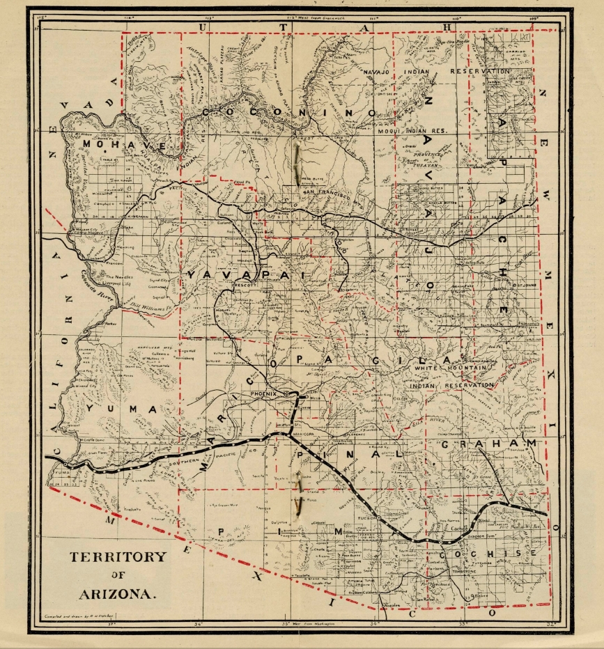
Downtown through the years

Follow this visual history of downtown Phoenix through the decades. I use the historic boundaries of downtown: Fillmore Street to the north; the railroad tracks to the south; Seventh Avenue and Seventh Street to west and east respectively. Click on a photo to see a larger image.
The early 1900s:

Looking east on Washington Street from the Ford Hotel. Redewill's music store was owned by the family that built the 1914 bungalow where we lived in Willo in the 2000s. We placed an Interior Department National Register of Historic Places plaque on it, the A.C. Redewill House.
The twenties:

Central Avenue heading south from Monroe Street, with the Hotel Adams the multi-story building on the left, and Central Methodist Church (ME, South), Heard Building, and Luhrs Building on the right.

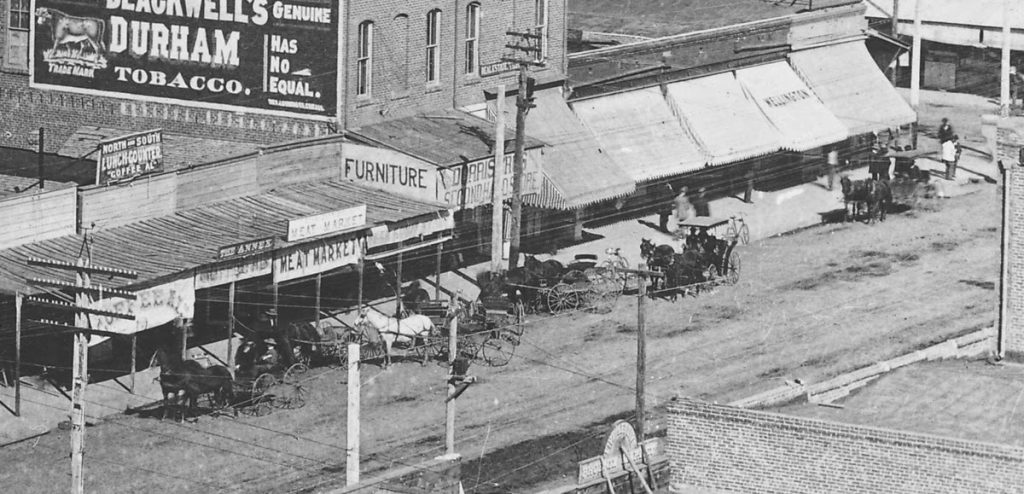
Second Avenue and Washington in 1929. The awnings are on the red-brick Fleming Building. From left to right in the distance are the new Hotel Westward Ho, the Professional Building, and the Hotel Adams annex (McCulloch Bros. Collection/ASU Archives).
Read more about this decade here.


")


")
")


")
")


")
")