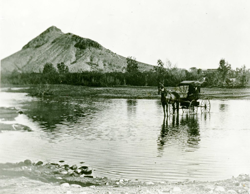
The Salt River flows without the impediment of upstream dams, pre-1911 (Tempe History Museum).
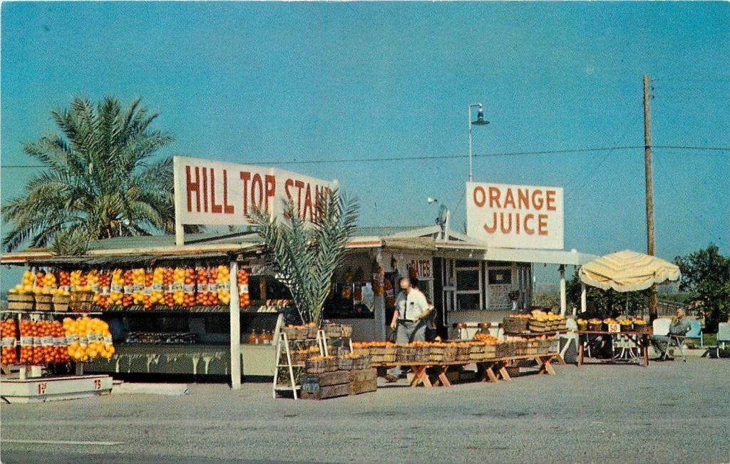
The first settlers to the region found a Salt River running as it had for millennia, free from its headwaters in the White Mountains to the northeast 200 miles to its meeting with the Gila River southwest of modern Phoenix. My family arrived in the 1890s.
The river had sustained the most advanced irrigation civilization in the pre-Columbian New World, although mysteriously gone for 500 years. The River brought not only with water, but also some of the planet's richest alluvial soil to its valley. Anything would grow here. These pioneers, especially Jack Swilling who saw the potential of the abandoned Hohokam canals and hired miners from Wickenburg to clean them out, hoped it would do the same for them.
There was, however, a catch. The Salt was a fickle river. It could run at a healthy flow much of the year, then turn nearly dry at the height of summer, interspersed with floods that destroyed the primitive diversion dams and irrigation systems of the pioneers. Archaeologists estimate that great floods had occurred on the river for two million years.
Floods hit in 1880, 1884, 1886, and 1889. The 1890s, when my family arrived, were particularly tough years. Against a backdrop of national "panics" (financial recessions), the Salt River rampaged and nearly dried up. The 1890 flood was followed a year later by a monster that breached its banks by miles, nearly reaching the Phoenix townsite and inundating crops.
The pioneers began to wonder if they would go the way of the Hohokam.


 14
14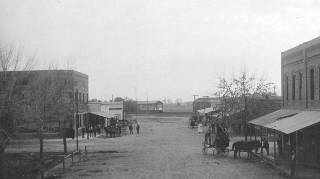
")
")
")

")

")


")
")


")


")
")

")
")

")